
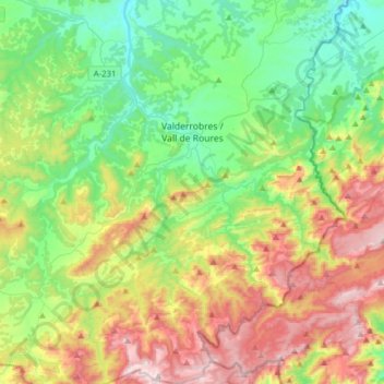
Valderrobres / Vall de Roures topographic map
Interactive map
Click on the map to display elevation.
About this map
Name: Valderrobres / Vall de Roures topographic map, elevation, terrain.
Average elevation: 2,441 ft
Minimum elevation: 1,319 ft
Maximum elevation: 4,505 ft
Other topographic maps
Click on a map to view its topography, its elevation and its terrain.
Cretas
Spanje > Aragón > Matarraña / Matarranya
Cretas, Matarraña / Matarranya, Teruel, Aragón, 44623, Spanje
Average elevation: 1,749 ft