
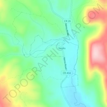
Nemo topographic map
Interactive map
Click on the map to display elevation.
About this map
Name: Nemo topographic map, elevation, terrain.
Average elevation: 4,806 ft
Minimum elevation: 4,551 ft
Maximum elevation: 5,315 ft
Other topographic maps
Click on a map to view its topography, its elevation and its terrain.
Redwater Creek
Vereinigte Staaten von Amerika > Süd-Dakota > Lawrence County
Redwater Creek, Lawrence County, Süd-Dakota, Vereinigte Staaten von Amerika
Average elevation: 3,471 ft