
Slins topographic map
Interactive map
Click on the map to display elevation.
About this map
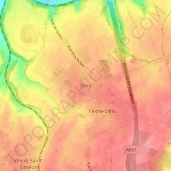
Name: Slins topographic map, elevation, terrain.
Location: Slins, Juprelle, Liège, Wallonie, 4450, Belgique (50.70772 5.54521 50.74772 5.58521)
Average elevation: 469 ft
Minimum elevation: 272 ft
Maximum elevation: 558 ft