
Thank you for supporting this site ❤️
Make a donation
Make a donation
Gear up for your next adventure:
As an Amazon Associate, this site earns from qualifying purchases at no extra cost to you.
Kande topographic map
Click on the map to display elevation.
Thank you for supporting this site ❤️
Make a donation
Make a donation
Gear up for your next adventure:
As an Amazon Associate, this site earns from qualifying purchases at no extra cost to you.
About this map
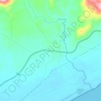
Name: Kande topographic map, elevation, terrain.
Location: Kande, Nkhata Bay, Northern Region, Malawi, Malawi (-11.95609 34.08731 -11.91609 34.12731)
Average elevation: 1,680 ft
Minimum elevation: 1,558 ft
Maximum elevation: 2,260 ft
Thank you for supporting this site ❤️
Make a donation
Make a donation
Gear up for your next adventure:
As an Amazon Associate, this site earns from qualifying purchases at no extra cost to you.