
Acala topographic map
Interactive map
Click on the map to display elevation.
About this map
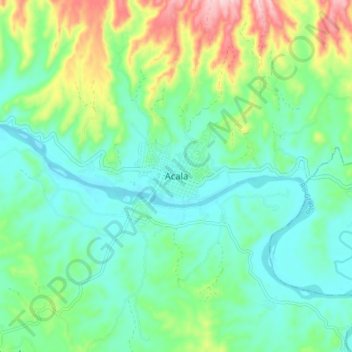
Name: Acala topographic map, elevation, terrain.
Location: Acala, Chiapas, México (16.51514 -92.84665 16.59514 -92.76665)
Average elevation: 1,506 ft
Minimum elevation: 1,286 ft
Maximum elevation: 2,083 ft