
Sorinne-la-Longue topographic map
Interactive map
Click on the map to display elevation.
About this map
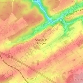
Name: Sorinne-la-Longue topographic map, elevation, terrain.
Location: Sorinne-la-Longue, Assesse, Namur, Wallonie, 5333, Belgique (50.36969 5.00944 50.40969 5.04944)
Average elevation: 846 ft
Minimum elevation: 587 ft
Maximum elevation: 997 ft