
Magill topographic map
Interactive map
Click on the map to display elevation.
About this map
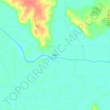
Name: Magill topographic map, elevation, terrain.
Location: Magill, Daviess County, Missouri, United States of America (39.85806 -93.90994 39.89806 -93.86994)
Average elevation: 751 ft
Minimum elevation: 702 ft
Maximum elevation: 889 ft