
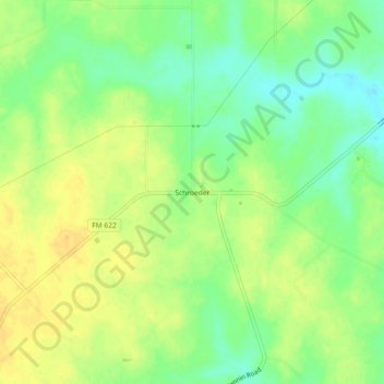
Schroeder topographic map
Interactive map
Click on the map to display elevation.
About this map
Name: Schroeder topographic map, elevation, terrain.
Location: Schroeder, Goliad County, Texas, USA (28.79554 -97.24443 28.83554 -97.20443)
Average elevation: 171 ft
Minimum elevation: 121 ft
Maximum elevation: 207 ft