
武湖 topographic map
Interactive map
Click on the map to display elevation.
About this map
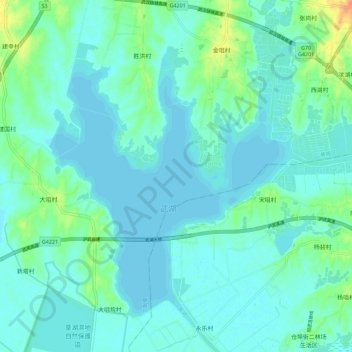
Name: 武湖 topographic map, elevation, terrain.
Location: 武湖, S5;G42S, 黄陂区, 武汉市, 湖北省, 中国 (30.76379 114.45825 30.84700 114.57062)
Average elevation: 72 ft
Minimum elevation: 46 ft
Maximum elevation: 177 ft
Other topographic maps
Click on a map to view its topography, its elevation and its terrain.