
Rose Hill topographic map
Interactive map
Click on the map to display elevation.
About this map
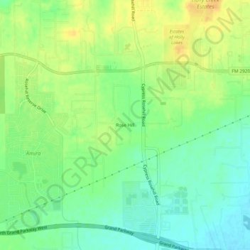
Name: Rose Hill topographic map, elevation, terrain.
Location: Rose Hill, Harris County, Texas, United States of America (30.05077 -95.72356 30.09077 -95.68356)
Average elevation: 207 ft
Minimum elevation: 161 ft
Maximum elevation: 253 ft