
蜀河 topographic map
Interactive map
Click on the map to display elevation.
About this map
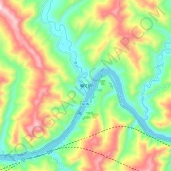
Name: 蜀河 topographic map, elevation, terrain.
Location: 蜀河, 旬阳县, 安康市, 陕西省, 中国 (32.89984 109.66116 32.97984 109.74116)
Average elevation: 1,503 ft
Minimum elevation: 600 ft
Maximum elevation: 2,904 ft