
Driehuizen topographic map
Interactive map
Click on the map to display elevation.
About this map
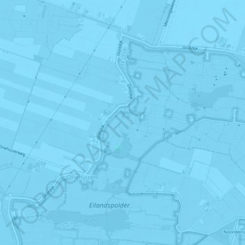
Name: Driehuizen topographic map, elevation, terrain.
Location: Driehuizen, Alkmaar, Noord-Holland, Nederland (52.57214 4.78772 52.59708 4.83466)
Average elevation: -10 ft
Minimum elevation: -23 ft
Maximum elevation: 3 ft
Other topographic maps
Click on a map to view its topography, its elevation and its terrain.
Stoomtramlijn Alkmaar - Bergen - Bergen aan Zee
Nederland > Noord-Holland > Alkmaar
Stoomtramlijn Alkmaar - Bergen - Bergen aan Zee, Helderseweg, Alkmaar, Noord-Holland, Nederland, 1817BA, Nederland
Average elevation: 7 ft