
Dr. Edmund A. Babler Memorial State Park topographic map
Interactive map
Click on the map to display elevation.
About this map
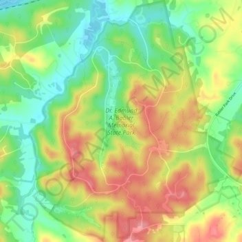
Name: Dr. Edmund A. Babler Memorial State Park topographic map, elevation, terrain.
Average elevation: 614 ft
Minimum elevation: 463 ft
Maximum elevation: 778 ft