
Sortavala topographic map
Interactive map
Click on the map to display elevation.
About this map
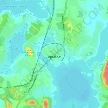
Name: Sortavala topographic map, elevation, terrain.
Average elevation: 46 ft
Minimum elevation: 7 ft
Maximum elevation: 246 ft
Other topographic maps
Click on a map to view its topography, its elevation and its terrain.
Valaam
Russia > Republic of Karelia > Sortavala Urban Okrug
Valaam, Сортавальское городское поселение, Sortavala Urban Okrug, Republic of Karelia, Northwestern Federal District, Russia
Average elevation: 49 ft