
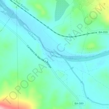
Río Guadiana topographic map
Interactive map
Click on the map to display elevation.
About this map
Name: Río Guadiana topographic map, elevation, terrain.
Location: Río Guadiana, La Zarza, Badajoz, Estremadura, Espanha (38.83258 -6.28469 38.83405 -6.28037)
Average elevation: 761 ft
Minimum elevation: 666 ft
Maximum elevation: 1,129 ft