
Grave topographic map
Interactive map
Click on the map to display elevation.
About this map
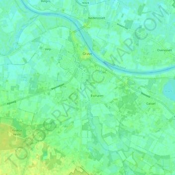
Name: Grave topographic map, elevation, terrain.
Location: Grave, Noord-Brabant, Nederland (51.71798 5.69086 51.77503 5.79975)
Average elevation: 36 ft
Minimum elevation: 16 ft
Maximum elevation: 66 ft
Other topographic maps
Click on a map to view its topography, its elevation and its terrain.
Grave
Nederland > Noord-Brabant > Grave > Grave
Grave, Land van Cuijk, Noord-Brabant, Nederland, 5361, Nederland
Average elevation: 33 ft