
Steady Brook topographic map
Interactive map
Click on the map to display elevation.
About this map
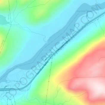
Name: Steady Brook topographic map, elevation, terrain.
Location: Steady Brook, Newfoundland and Labrador, A2H 2N2, Canada (48.94978 -57.84302 48.97464 -57.79230)
Average elevation: 476 ft
Minimum elevation: -3 ft
Maximum elevation: 1,686 ft