
Kumbhari topographic map
Interactive map
Click on the map to display elevation.
About this map
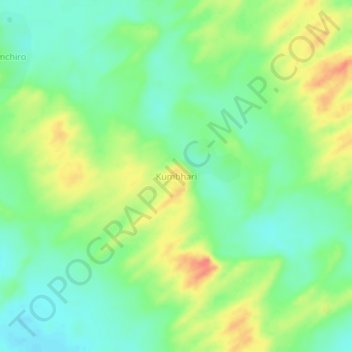
Name: Kumbhari topographic map, elevation, terrain.
Location: Kumbhari, Tharparkar District, Sindh, Pakistan (24.60394 70.79976 24.64394 70.83976)
Average elevation: 121 ft
Minimum elevation: 46 ft
Maximum elevation: 230 ft