
Kaundorf topographic map
Interactive map
Click on the map to display elevation.
About this map
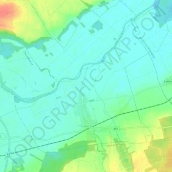
Name: Kaundorf topographic map, elevation, terrain.
Location: Kaundorf, gmina Nysa, powiat nyski, Woiwodschaft Oppeln, Polen (50.46784 17.40828 50.49444 17.46208)
Average elevation: 614 ft
Minimum elevation: 568 ft
Maximum elevation: 722 ft