
Arganda del Rey topographic map
Interactive map
Click on the map to display elevation.
About this map
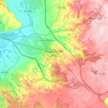
Name: Arganda del Rey topographic map, elevation, terrain.
Average elevation: 2,175 ft
Minimum elevation: 1,729 ft
Maximum elevation: 2,602 ft
El municipio está situado a una altitud de 613 msnm.