
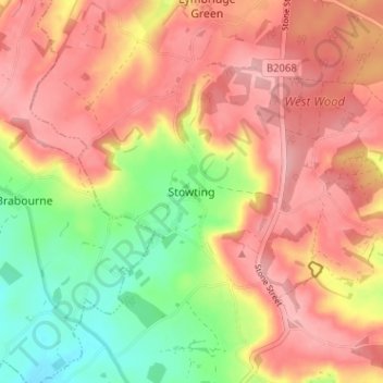
Stowting topographic map
Interactive map
Click on the map to display elevation.
About this map
Name: Stowting topographic map, elevation, terrain.
Location: Stowting, Kent, South East, England, TN25 6BD, United Kingdom (51.11669 1.01528 51.15669 1.05528)
Average elevation: 453 ft
Minimum elevation: 213 ft
Maximum elevation: 617 ft