
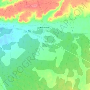
Frumales topographic map
Interactive map
Click on the map to display elevation.
About this map
Name: Frumales topographic map, elevation, terrain.
Location: Frumales, Segovia, Castilla y León, España (41.34217 -4.22897 41.40093 -4.16222)
Average elevation: 2,736 ft
Minimum elevation: 2,644 ft
Maximum elevation: 2,897 ft