
Dojč topographic map
Interactive map
Click on the map to display elevation.
About this map
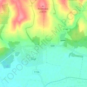
Name: Dojč topographic map, elevation, terrain.
Location: Dojč, Region of Trnava, Western Slovakia, 906 02, Slovakia (48.66404 17.24129 48.70404 17.28129)
Average elevation: 663 ft
Minimum elevation: 564 ft
Maximum elevation: 856 ft