
Neepawa topographic map
Interactive map
Click on the map to display elevation.
About this map
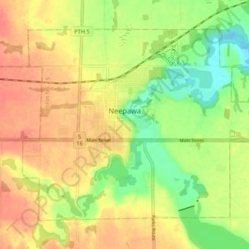
Name: Neepawa topographic map, elevation, terrain.
Location: Neepawa, Manitoba, R0J 1H0, Canada (50.21067 -99.49471 50.24771 -99.41942)
Average elevation: 1,211 ft
Minimum elevation: 1,122 ft
Maximum elevation: 1,276 ft