
Torre Blanca topographic map
Interactive map
Click on the map to display elevation.
About this map
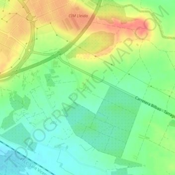
Name: Torre Blanca topographic map, elevation, terrain.
Location: Torre Blanca, Lérida, Segriá, Lérida, Cataluña, 25190, España (41.59076 0.67522 41.61076 0.69522)
Average elevation: 614 ft
Minimum elevation: 528 ft
Maximum elevation: 728 ft
Other topographic maps
Click on a map to view its topography, its elevation and its terrain.