
Haren Gn topographic map
Interactive map
Click on the map to display elevation.
About this map
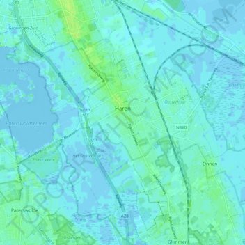
Name: Haren Gn topographic map, elevation, terrain.
Location: Haren Gn, Groningen, Niederlande (53.13840 6.54838 53.19659 6.64725)
Average elevation: 7 ft
Minimum elevation: -16 ft
Maximum elevation: 36 ft