
A Capela topographic map
Interactive map
Click on the map to display elevation.
About this map
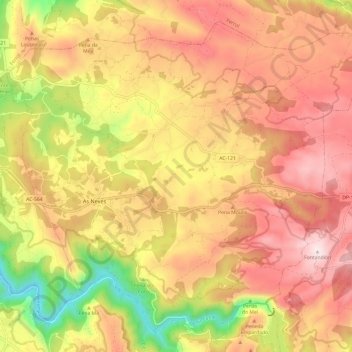
Name: A Capela topographic map, elevation, terrain.
Location: A Capela, Eume, La Coruña, Galicia, 15613, España (43.40295 -8.10191 43.48003 -7.98159)
Average elevation: 1,102 ft
Minimum elevation: 7 ft
Maximum elevation: 1,890 ft