
Lupara topographic map
Interactive map
Click on the map to display elevation.
About this map
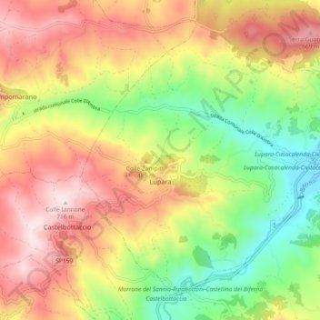
Name: Lupara topographic map, elevation, terrain.
Location: Lupara, Campobasso, Molise, 86030, Italia (41.73856 14.71054 41.79597 14.80119)
Average elevation: 1,368 ft
Minimum elevation: 443 ft
Maximum elevation: 2,336 ft