
兰山街道 topographic map
Interactive map
Click on the map to display elevation.
About this map
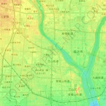
Name: 兰山街道 topographic map, elevation, terrain.
Location: 兰山街道, 兰山区, 临沂市, 山东省, 中国 (35.06387 118.17868 35.13819 118.34945)
Average elevation: 240 ft
Minimum elevation: 190 ft
Maximum elevation: 282 ft