
Cicera topographic map
Interactive map
Click on the map to display elevation.
About this map
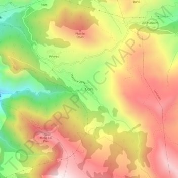
Name: Cicera topographic map, elevation, terrain.
Location: Cicera, Peñarrubia, Saja-Nansa, Cantabria, 39580, España (43.21614 -4.57034 43.25614 -4.53034)
Average elevation: 2,185 ft
Minimum elevation: 581 ft
Maximum elevation: 3,517 ft