
Antigua topographic map
Interactive map
Click on the map to display elevation.
About this map
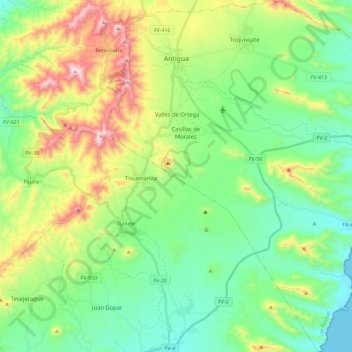
Name: Antigua topographic map, elevation, terrain.
Location: Antigua, Las Palmas, Canarie, Spagna (28.25124 -14.05868 28.45315 -13.84872)
Average elevation: 722 ft
Minimum elevation: 0 ft
Maximum elevation: 2,352 ft