
Wertheim topographic map
Interactive map
Click on the map to display elevation.
About this map
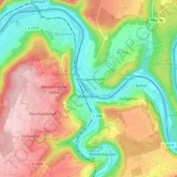
Name: Wertheim topographic map, elevation, terrain.
Location: Wertheim, Main-Tauber-Kreis, Baden-Württemberg, 97877, Duitsland (49.73914 9.46947 49.78882 9.55511)
Average elevation: 751 ft
Minimum elevation: 423 ft
Maximum elevation: 1,135 ft