
Fascia Piana topographic map
Interactive map
Click on the map to display elevation.
About this map
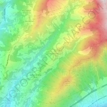
Name: Fascia Piana topographic map, elevation, terrain.
Location: Fascia Piana, Seborga, Imperia, Ligurie, 18014, Italie (43.80216 7.66695 43.84216 7.70695)
Average elevation: 1,243 ft
Minimum elevation: 85 ft
Maximum elevation: 2,982 ft