
西长安街街道 topographic map
Interactive map
Click on the map to display elevation.
About this map
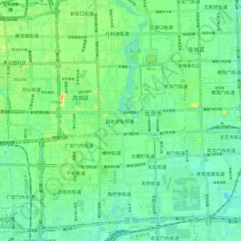
Name: 西长安街街道 topographic map, elevation, terrain.
Location: 西长安街街道, 西城区, Pékin, 100032, Chine (39.86305 116.33715 39.94305 116.41715)
Average elevation: 164 ft
Minimum elevation: 121 ft
Maximum elevation: 253 ft