
Perleberg topographic map
Interactive map
Click on the map to display elevation.
About this map
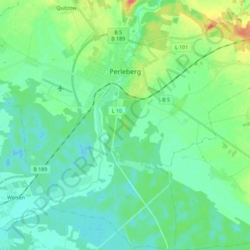
Name: Perleberg topographic map, elevation, terrain.
Location: Perleberg, Prignitz, Brandenburg, 19348, Germany (53.00592 11.79323 53.10425 11.90124)
Average elevation: 112 ft
Minimum elevation: 66 ft
Maximum elevation: 249 ft