
Neril topographic map
Interactive map
Click on the map to display elevation.
About this map
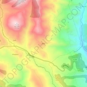
Name: Neril topographic map, elevation, terrain.
Location: Neril, Laspaúles, La Ribagorza, Huesca, Aragón, España (42.45225 0.60039 42.49225 0.64039)
Average elevation: 4,531 ft
Minimum elevation: 3,422 ft
Maximum elevation: 5,630 ft