
Hoher Brand topographic map
Interactive map
Click on the map to display elevation.
About this map
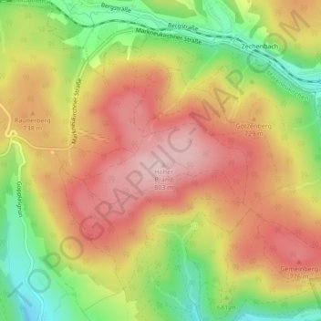
Name: Hoher Brand topographic map, elevation, terrain.
Average elevation: 2,303 ft
Minimum elevation: 1,890 ft
Maximum elevation: 2,635 ft
Other topographic maps
Click on a map to view its topography, its elevation and its terrain.
Sträßel
Deutschland > Sachsen > Markneukirchen > Sträßel
Sträßel, Markneukirchen, Vogtlandkreis, Sachsen, 08258, Deutschland
Average elevation: 1,745 ft