
Pointe-Calumet topographic map
Interactive map
Click on the map to display elevation.
About this map
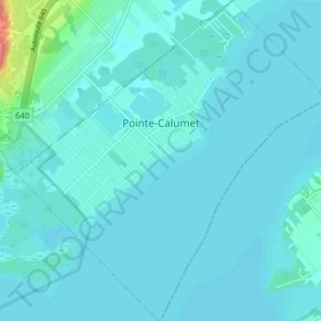
Name: Pointe-Calumet topographic map, elevation, terrain.
Location: Pointe-Calumet, Deux-Montagnes, Laurentides, Quebec, Canada (45.47141 -73.99749 45.51865 -73.93232)
Average elevation: 82 ft
Minimum elevation: 59 ft
Maximum elevation: 315 ft