
Erde topographic map
Interactive map
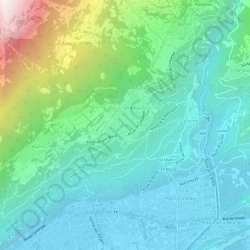
Click on the map to display elevation.
About this map
Name: Erde topographic map, elevation, terrain.
Location: Erde, Gundis, Wallis, 1964, Schweiz (46.21966 7.27163 46.25966 7.31163)
Average elevation: 2,815 ft
Minimum elevation: 1,565 ft
Maximum elevation: 7,037 ft