
Penola topographic map
Interactive map
Click on the map to display elevation.
About this map
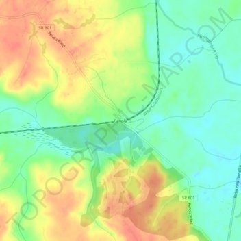
Name: Penola topographic map, elevation, terrain.
Location: Penola, Caroline County, Virginia, 22564, USA (37.93736 -77.39081 37.97736 -77.35081)
Average elevation: 135 ft
Minimum elevation: 56 ft
Maximum elevation: 220 ft