
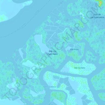
Isla Las Conchitas topographic map
Interactive map
Click on the map to display elevation.
About this map
Name: Isla Las Conchitas topographic map, elevation, terrain.
Location: Isla Las Conchitas, Puná, Guayaquil, Guayas, Ecuador (-2.39172 -79.98356 -2.33359 -79.93909)
Average elevation: 3 ft
Minimum elevation: -33 ft
Maximum elevation: 108 ft