
Leggett topographic map
Interactive map
Click on the map to display elevation.
About this map
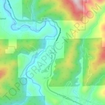
Name: Leggett topographic map, elevation, terrain.
Location: Leggett, Mendocino County, California, 95585, USA (39.84571 -123.73419 39.88571 -123.69419)
Average elevation: 1,289 ft
Minimum elevation: 666 ft
Maximum elevation: 2,605 ft