
Hotham Heights topographic map
Interactive map
Click on the map to display elevation.
About this map
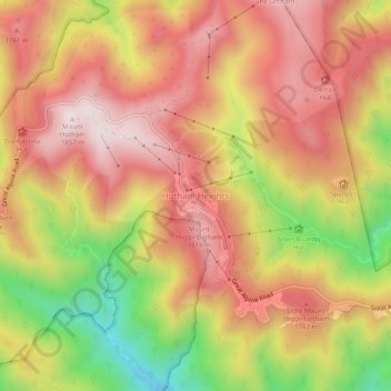
Name: Hotham Heights topographic map, elevation, terrain.
Location: Hotham Heights, Victoria, Australia (-37.00307 147.12399 -36.96307 147.16399)
Average elevation: 5,253 ft
Minimum elevation: 3,970 ft
Maximum elevation: 6,112 ft