
Windigo topographic map
Interactive map
Click on the map to display elevation.
About this map
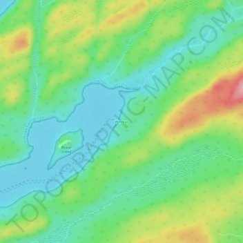
Name: Windigo topographic map, elevation, terrain.
Location: Windigo, Keweenaw County, Michigan, USA (47.89184 -89.17675 47.93184 -89.13675)
Average elevation: 745 ft
Minimum elevation: 584 ft
Maximum elevation: 1,063 ft