
Hammam Debagh topographic map
Interactive map
Click on the map to display elevation.
About this map
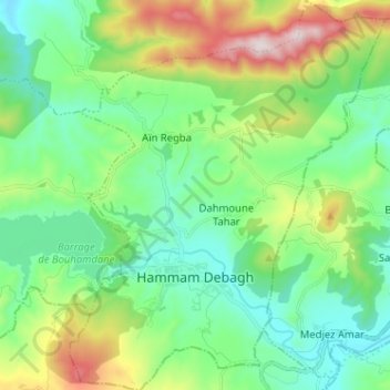
Name: Hammam Debagh topographic map, elevation, terrain.
Location: Hammam Debagh, Daïra Hammam Debagh, Guelma, Algérie (36.43033 7.22636 36.53311 7.33010)
Average elevation: 1,496 ft
Minimum elevation: 741 ft
Maximum elevation: 3,448 ft