
Khatav topographic map
Interactive map
Click on the map to display elevation.
About this map
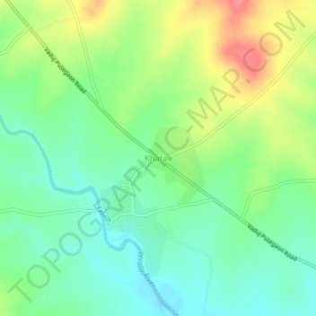
Name: Khatav topographic map, elevation, terrain.
Location: Khatav, Satara, Maharashtra, India (17.64102 74.34636 17.68102 74.38636)
Average elevation: 2,536 ft
Minimum elevation: 2,444 ft
Maximum elevation: 2,690 ft