
Lastrup topographic map
Interactive map
Click on the map to display elevation.
About this map
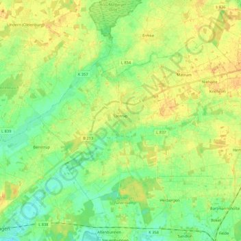
Name: Lastrup topographic map, elevation, terrain.
Location: Lastrup, Landkreis Cloppenburg, Nedersaksen, 49688, Duitsland (52.75143 7.79251 52.83635 8.00443)
Average elevation: 112 ft
Minimum elevation: 66 ft
Maximum elevation: 157 ft