
Klaaswaal topographic map
Interactive map
Click on the map to display elevation.
About this map
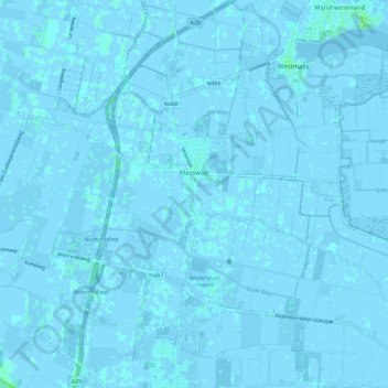
Name: Klaaswaal topographic map, elevation, terrain.
Location: Klaaswaal, Hoeksche Waard, Südholland, Niederlande (51.74044 4.40469 51.78833 4.51940)
Average elevation: 0 ft
Minimum elevation: -13 ft
Maximum elevation: 20 ft
Other topographic maps
Click on a map to view its topography, its elevation and its terrain.
Hoeksche Waard
Niederlande > Südholland > Hoeksche Waard
Hoeksche Waard, Südholland, Niederlande
Average elevation: 0 ft
Hoeksche Waard
Niederlande > Südholland > Hoeksche Waard
Hoeksche Waard, Südholland, Niederlande
Average elevation: 0 ft
's-Gravendeel
Niederlande > Südholland > Hoeksche Waard
's-Gravendeel, Hoeksche Waard, Südholland, Niederlande
Average elevation: 0 ft
Strijensas
Niederlande > Südholland > Hoeksche Waard
Strijensas, Hoeksche Waard, Südholland, Niederlande
Average elevation: 0 ft
Mijnsheerenland
Niederlande > Südholland > Hoeksche Waard
Mijnsheerenland, Hoeksche Waard, Südholland, Niederlande
Average elevation: 0 ft
Strijen
Niederlande > Südholland > Hoeksche Waard
Strijen, Hoeksche Waard, Südholland, Niederlande
Average elevation: -3 ft
Goudswaard
Niederlande > Südholland > Hoeksche Waard
Goudswaard, Hoeksche Waard, Südholland, Niederlande
Average elevation: 0 ft