
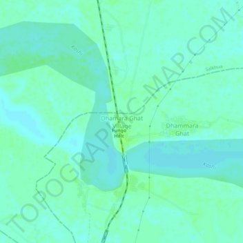
Dhamara Ghat Village topographic map
Interactive map
Click on the map to display elevation.
About this map
Name: Dhamara Ghat Village topographic map, elevation, terrain.
Location: Dhamara Ghat Village, Khagaria, Bihar, India (25.59906 86.58491 25.63906 86.62491)
Average elevation: 121 ft
Minimum elevation: 108 ft
Maximum elevation: 141 ft