
Sidi Ayad topographic map
Interactive map
Click on the map to display elevation.
About this map
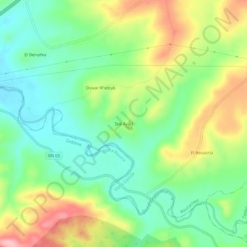
Name: Sidi Ayad topographic map, elevation, terrain.
Location: Sidi Ayad, Daïra Djelida, Aïn Defla, 44044, Algérie (36.11251 1.88041 36.15251 1.92041)
Average elevation: 1,047 ft
Minimum elevation: 837 ft
Maximum elevation: 1,385 ft